

Islamabad
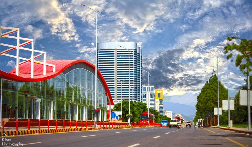
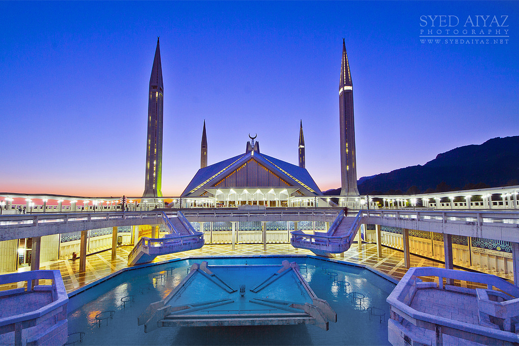
Islamabad is the capital city of Pakistan, and is federally administered as part of the Islamabad Capital Territory. Built as a planned city in the 1960s to replace Karachi as Pakistan's capital, Islamabad is noted for its high standards of living, safety, and abundant greenery.
With a population of 1,014,825 as per the 2017 Census, Islamabad is the 9th largest city in Pakistan, while the larger Islamabad-Rawalpindi metropolitan area is the country's third largest with a population exceeding four million. The city is the political seat of Pakistan and is administered by the Islamabad Metropolitan Corporation, supported by the Capital Development Authority (CDA).
Islamabad is located in the Pothohar Plateau in the northeastern part of the country, between Rawalpindi District and the Margalla Hills National Park to the north. The region has historically been a part of the crossroads of Punjab and Khyber Pakhtunkhwa with the Margalla Pass acting as the gateway between the two regions.
Muree:
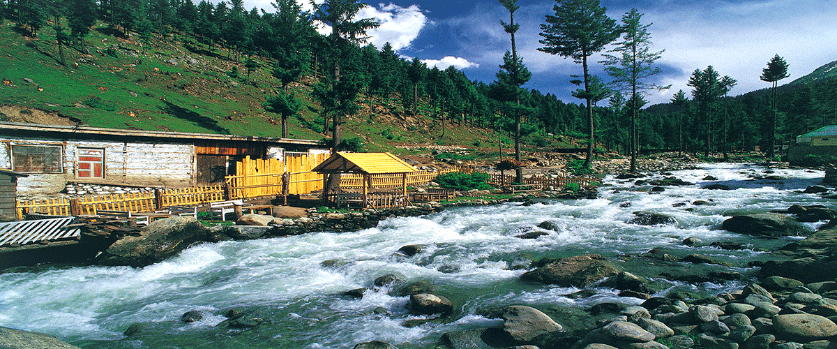
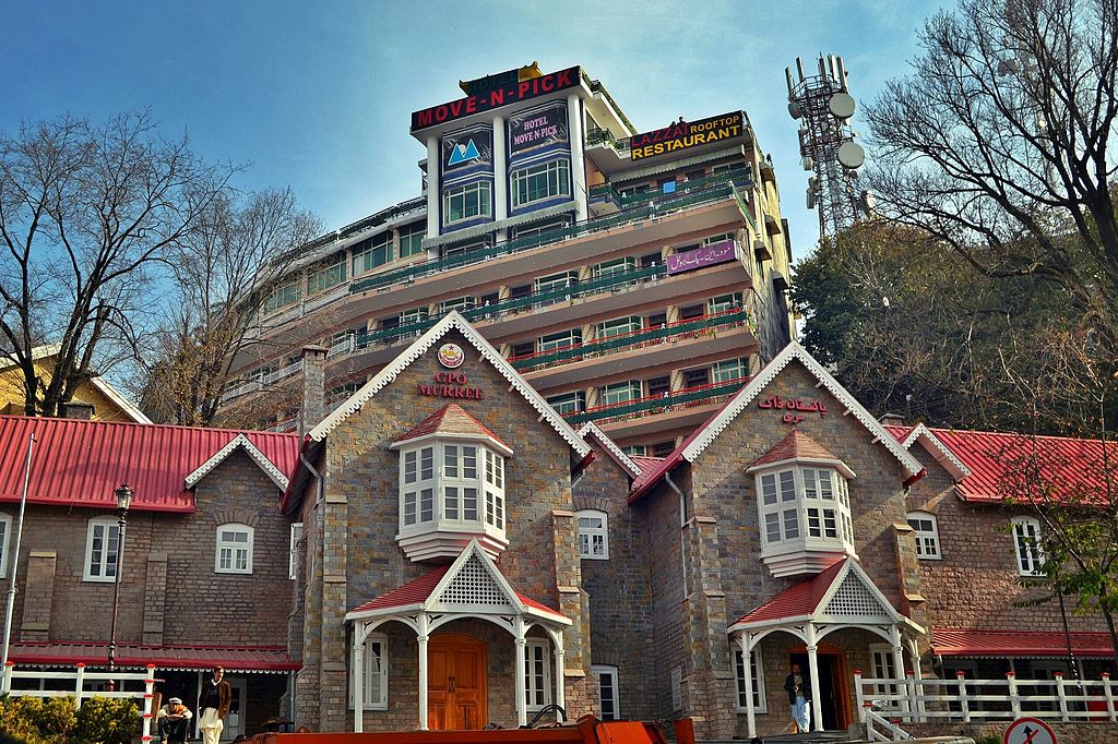
Murree is a mountain resort town, located in the Galyat region of the Pir Panjal Range, within the Rawalpindi District of Punjab, Pakistan. It forms the outskirts of the Islamabad-Rawalpindi metropolitan area, and is about 30 km (19 mi) northeast of Islamabad. It has average altitude of 2,291 metres (7,516 ft).[3]
Murree was founded in 1851 as a sanatorium for British troops. The permanent town of Murree was constructed in 1853 and the church was sanctified shortly thereafter. One main road was established, commonly referred to even in modern times, as the mall. Murree was the summer headquarters of the colonial Punjab Government until 1876 when it was moved to Shimla.[4]
Murree became a popular tourist station for British within the British India, several prominent Englishmen were born here including Bruce Bairnsfather, Francis Younghusband and Reginald Dyer. During colonial era access to commercial establishments was restricted for non-Europeans including the Lawrence College. In 1901, the population of the town was officially 1,844, although if summer visitors had been included this could have been as high as 10,000.
Swat:
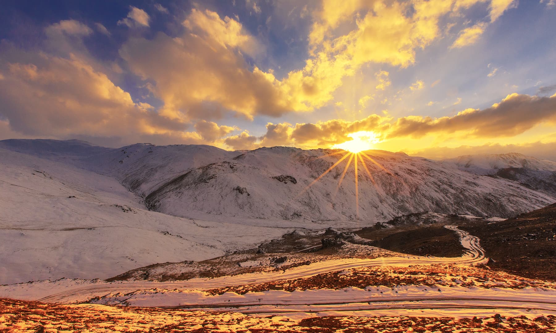
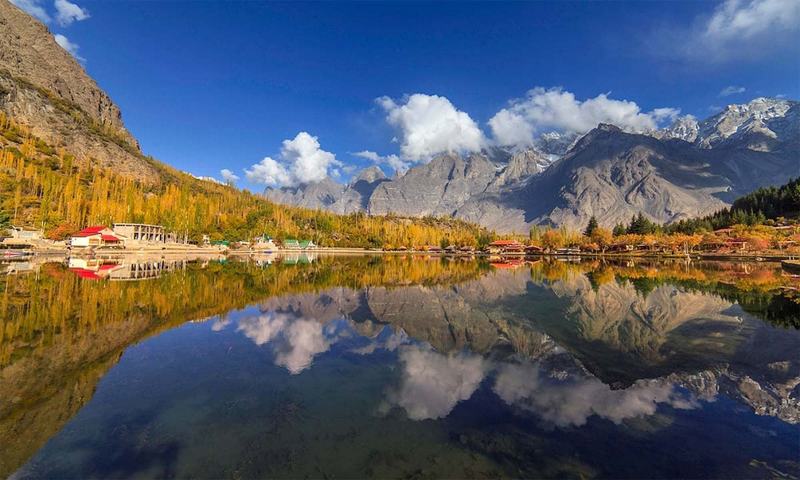
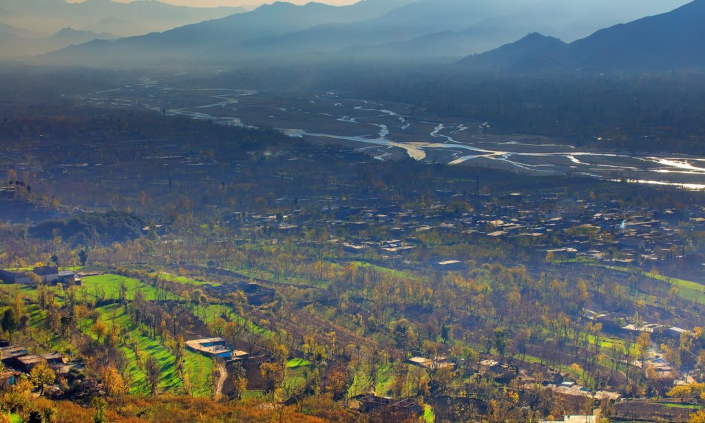
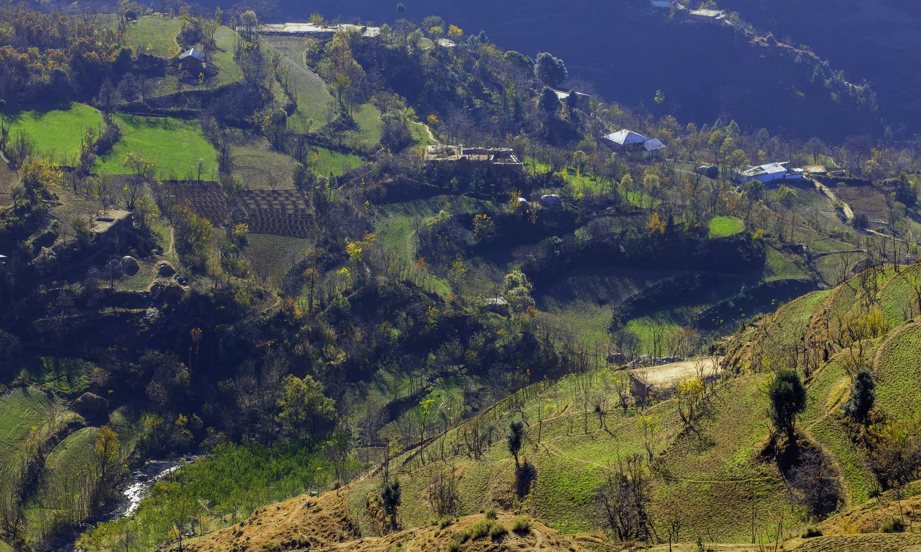
Swat pronounced is a district in Malakand Division of Khyber Pakhtunkhwa province in Pakistan. Swat is renowned for its outstanding natural beauty. Centred upon the upper portions of the Swat River, Swat was a major centre of early Buddhist thought as part of the Gandhara kingdom, and today is littered with ruins from that era. Swat was home to the last isolated pockets of Gandharan Buddhism, which lasted until the 11th century, well after most of the area had converted to Islam. Until 1969, Swat was part of the Yusafzai State of Swat, a self-governing princely state. The region was seized by the Pakistani Taliban in late 2007, and its tourist industry decimated until Pakistani control over Swat was re-established in mid 2009.
Swat's capital is Saidu Sharif, though the largest city, and main commercial centre, is the nearby city of Mingora. With a population of 2,309,570 according to the 2017 census, Swat is the 15th-largest district of Khyber Pakhtunkhwa. The region is inhabited largely by Pashtun people, except in the valley's uppermost reaches, where the Kohistani people dominate.
Powered by ![]()